Self-Determination
Serving Our Communities.
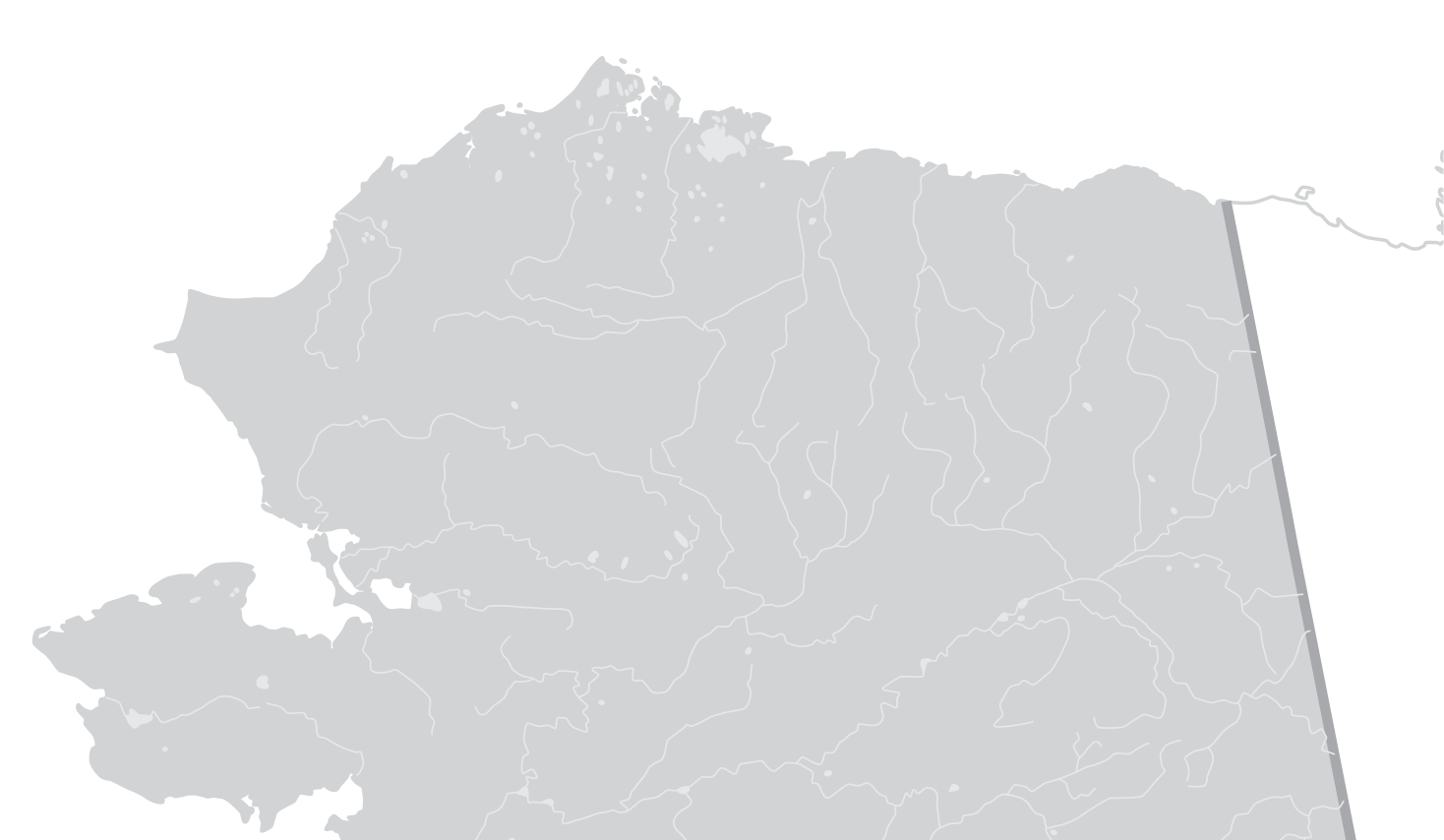
Alaska's North Slope, the homeland of the Iñupiat for over 10,000 years, spans 95,000 square miles. Stretching from the Brooks Range to the shores of the Chukchi and Beaufort Seas, it is home to eight distinct communities, each rich in its own history, culture, and traditions. Deeply connected to the land and the sea, these communities are guided by generations of stewardship and Indigenous knowledge, reflecting a shared strength rooted in resilience and cultural pride.
Use The Arrows To Explore All 8 Communities
Utqiaġvik (Barrow)
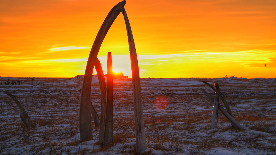
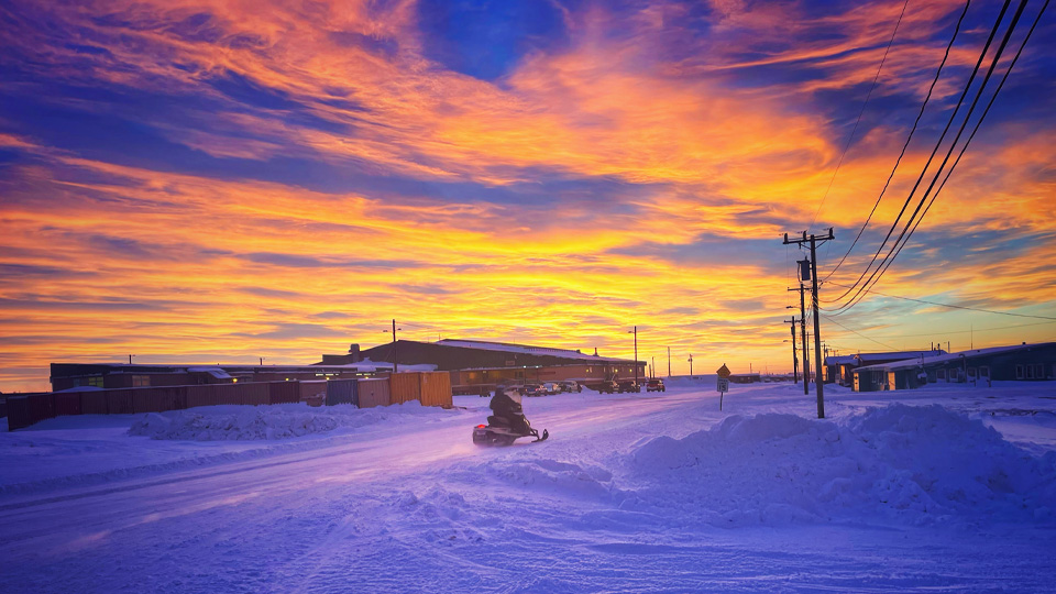
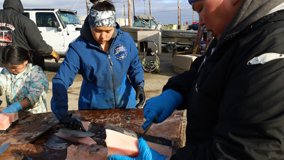
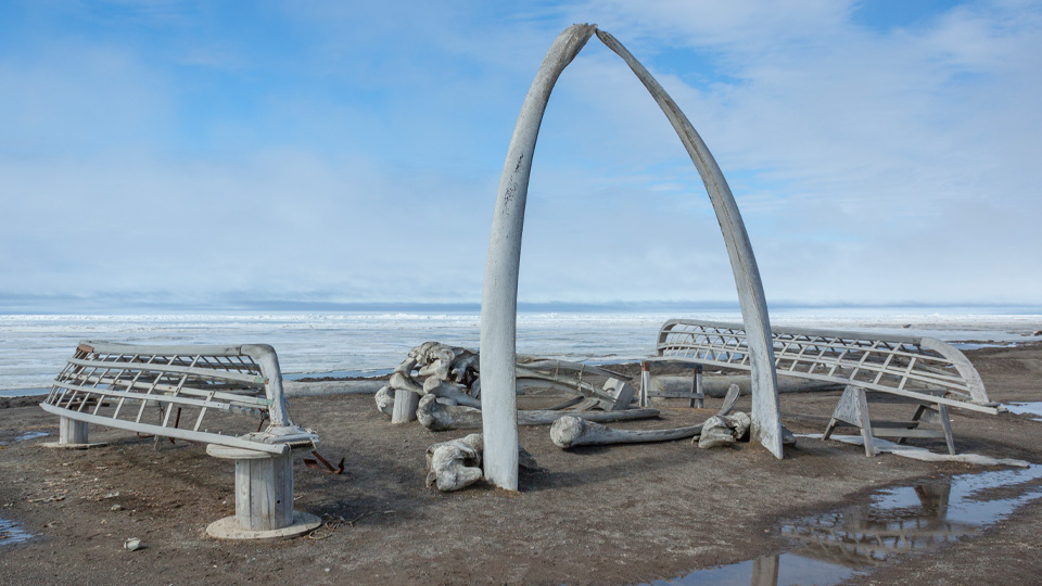
As the northernmost community in the United States, Utqiaġvik sits at the confluence of the Chukchi and Beaufort Seas. Situated 320 miles above the Arctic Circle, the community lies within the boundaries of the National Petroleum Reserve in Alaska and serves as the administrative and economic capital of the North Slope. Utqiaġvik, formerly known as Barrow, serves as the regional center for healthcare and education, housing the headquarters of key organizations including the Arctic Slope Native Association, Arctic Slope Regional Corporation, Iñupiat Community of the Arctic Slope, Iḷisaġvik College, and the North Slope Borough. It is also home to the Native Village of Barrow, the City of Utqiaġvik, and the Ukpeaġvik Iñupiat Corporation. Despite its role as a modern hub, the community remains deeply rooted in Iñupiaq traditions, with subsistence whaling, hunting, and fishing forming the core of its local economy.
Tikiġaq (Point Hope)
Tikiġaq, or Point Hope, is a historic Iñupiac village located on the southern tip of the Lisburne Peninsula, bordered by the Chukchi Sea. As the second-largest populated village in the region, it is home to the Native Village of Point Hope, the City of Point Hope, and Tikigaq Corporation. The community is recognized as one of the best locations in the Alaskan Arctic for marine mammal hunting, with rich traditions rooted in bowhead whale, seal, and walrus harvesting. Archaeological evidence confirms continued occupancy for over 2,000 years.
Ulġuniq (Wainwright)
Ulġuniq, or Wainwright, is situated along the Northern coast along the Chukchi Sea and Wainwright Inlet. It is located entirely within the boundaries of the National Petroleum Reserve in Alaska. Wainwright is the third-largest populated Iñupiac village in the North Slope with over 550 residents. The community is home to the Village of Wainwright, the City of Wainwright, and Olgoonik Corporation. The community’s identity is deeply rooted in its ancestral heritage. Residents maintain strong cultural traditions, including subsistence practices such as whaling, hunting, and fishing.
Nuiqsut
Nuiqsut is situated along the Colville River and lies entirely within the boundaries of the National Petroleum Reserve in Alaska. The community is home to approximately 411 residents, who are mostly Iñupiac. Nuiqsut is also home to the Native Village of Nuiqsut, the City of Nuiqsut, and Kuukpik Corporation. To provide for their community residents rely on subsistence traditions of fall whaling, fishing, hunting, and gathering.
Anaktuvuk Pass
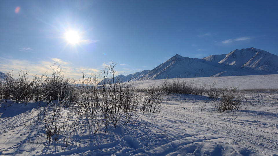
Situated in the Brooks Range, Anaktuvuk Pass is home to approximately 350 residents. The community is also home to the Naqsragmiut Tribal Council, and the City of Anaktuvuk Pass, and Nunamiut Corporation. Although the village was settled in the 1940s, the subsequent establishment of the Gates of the Arctic National Park was placed on top of the community, locking the residents out of traditional homelands and hunting grounds in 1980. This designation severely restricted year-round access to vital subsistence resources, particularly for caribou hunters.
Atqasuk
Atqasuk is located approximately 60 miles south of Utqiaġvik. It lies entirely within the boundaries of the National Petroleum Reserve in Alaska along the Meade River. With the river as the primary subsistence transportation corridor, provides access to inland resources such as fish, migratory birds, berries, and caribou to sustain the population of close to 300, mostly Iñupiac residents. Atqasuk is home to the Native Village of Atqasuk, the City of Atqasuk, and Atqasuk Corporation. Atqasuk was once home to an historic coal mine that provided fuel for government and private facilities during and after World War II.
Kaktovik
Kaktovik is perched on the northern shore of Barter Island in the Beaufort Sea. As the easternmost community of the North Slope, it is home to approximately 250 residents. Kaktovik is the only community located within the Arctic National Wildlife Refuge boundaries. Historically significant as a vital trade hub between Alaskan and Canadian Iñuit, the community has maintained its strong cultural connection to the region although its people were forcibly relocated by the federal government three different times. Today it is a blend of ancient tradition and storied maritime history. Archaeological investigations show that the site has been occupied for at least 11,000 years. The current location Kaktovik is home to the Native Village of Kaktovik, and the City of Kaktovik, and Kaktovik Iñupiat Corporation.
Kali (Point Lay)
Kali, or Point Lay, is a coastal Iñupiac village along the Chukchi Sea, protected by the open ocean by the Kasegaluk Lagoon. The community is home to approximately 229 residents, the Native Village of Point Lay and Cully Corporation. Mirroring North Slope traditions, subsistence hunting is central to life in Point Lay. Hunting of beluga and bowhead whales, along with fishing, plays a central role in the community’s subsistence way of life.
Average Cost of Living on the North Slope
Kaktovik
Nuiqsut
Utqiaġvik
Atqasuk
Anaktuvuk Pass
Wainwright
Point Lay
Point Hope